Splitfest
March 19
Today's the last day of the splitfest. It continues to snow and a couple have to drive home so the tour is kind of a repeat.
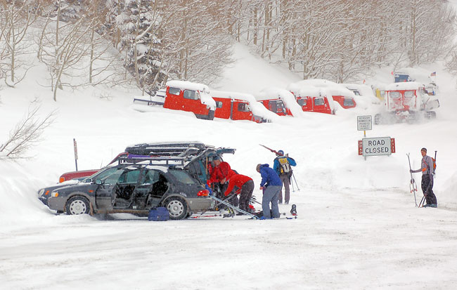
Once again, the bus drops us, where we are joined by those leaving early. A telemarker is a bit stunned to see all the splitters. It's okay we're joined by a skier today.
Location:
Started at the end of the road at Alta ascending to the top of east bowl of Silver-Michigan city.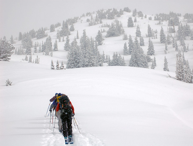
Descended the west facing into town.
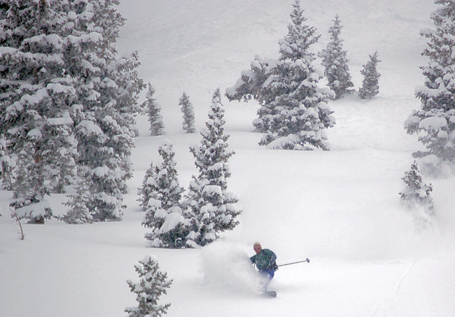
Ascended the same route and descended the east bowl.

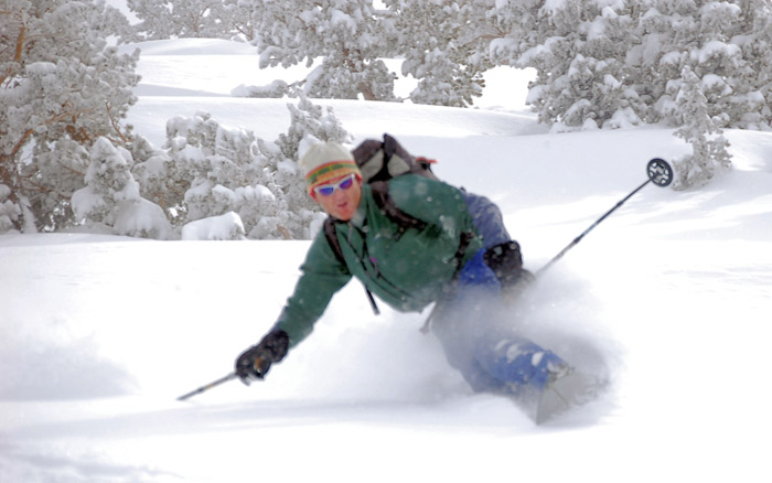
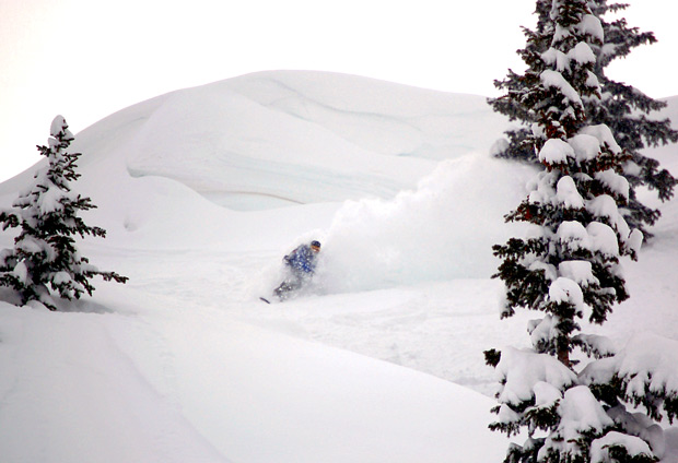
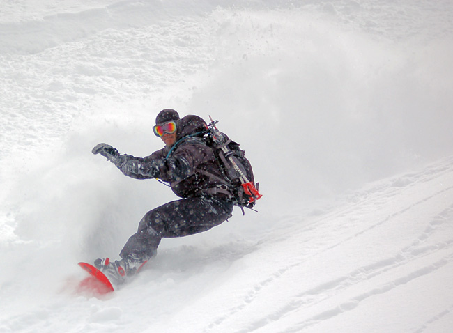
bcrider in action.
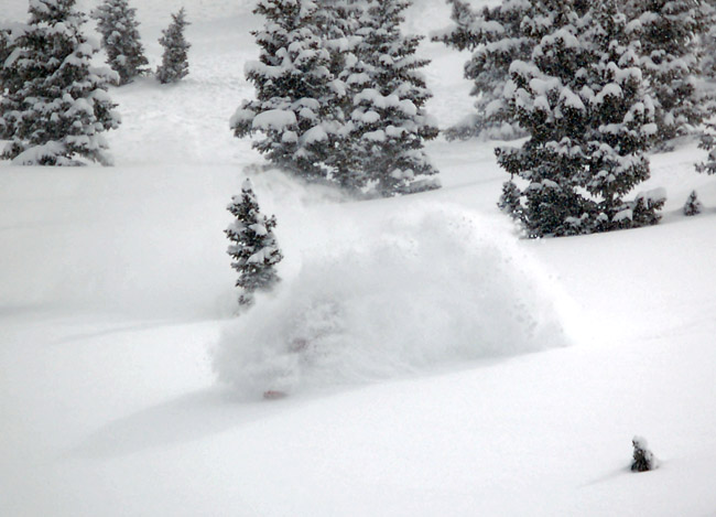
He does this on purpose.
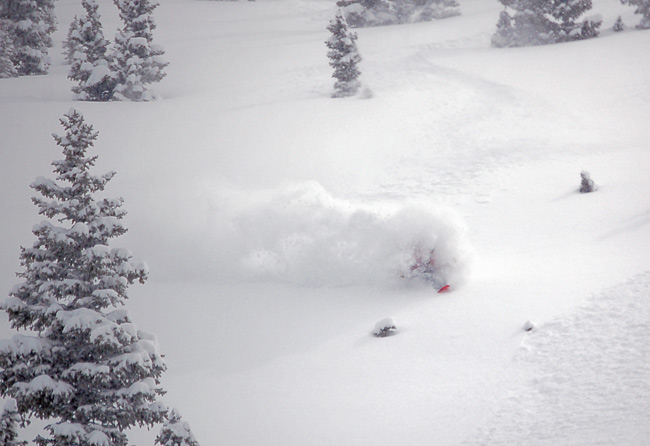
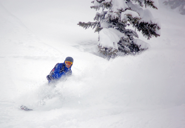
And again.
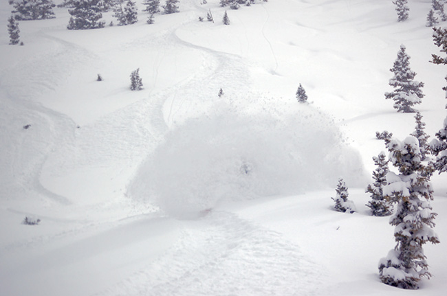
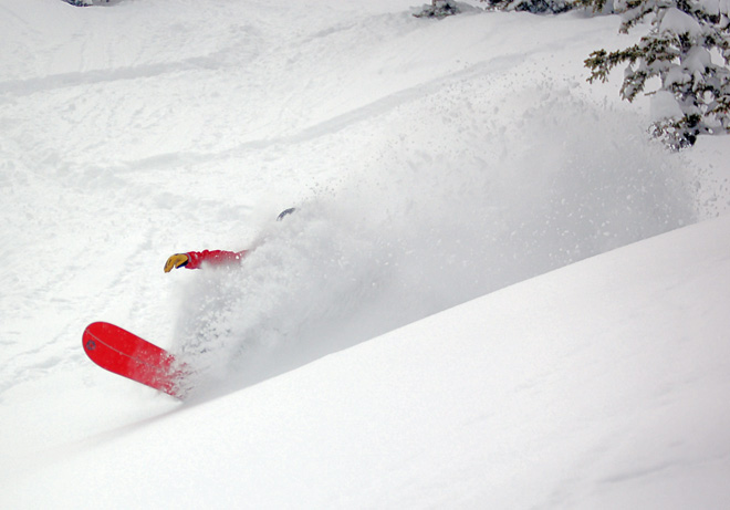
Coming out of it. Yeah I gotcha.
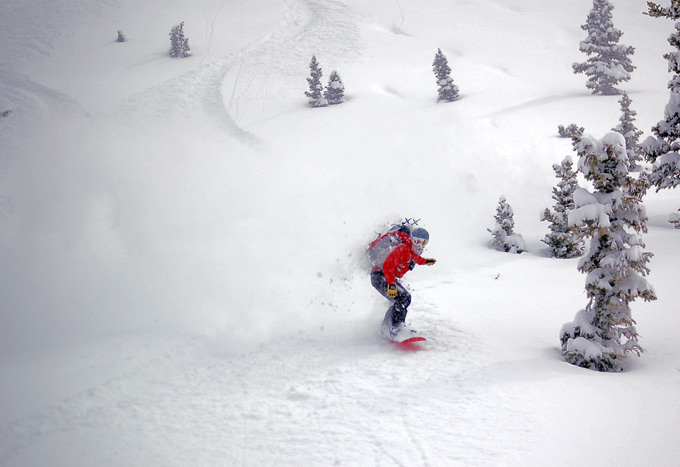
Snow:
The same foot or so as yesterday. Good settlement. Natural activity was observed in the east bowl, with a new snow slide in the upper. Crown was not visible but the slide ran several hundred vertical, taking out most of the upper center of the bowl, perhaps a hundred feet wide. A distinct crown was observed skier’s left of the east pass. That one was the result of sluffing from above triggering the slide within the most recent snow. It was less than a foot deep and twenty or so feet wide.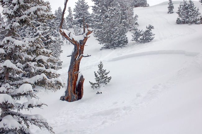
Ascended to east pass traversing west along the ridge and descended Over Easy continuing into the main gully.
Ascended west bowl to the saddle, descending Hideaway park to the flats.
Ascended south up Days fork cutting off and ascending the east facing to the top of main Days. Traversed north and descended Banana Belt continuing out Days Fork.
Weather:
Overcast to mostly cloudy. Occasional flurries, with An instability shower in the late afternoon. Moderate temperatures and light winds.
Snow:
A slide was triggered with a ski cut in Banana Belt, first entry skier’s right of the summit. That one was forty-fifty feet wide and up to a foot deep. It ran about five hundred vertical. Initiated by the second skier. Snow below about 8500’ suffered from effects of greenhousing and maybe a little sun. It was thick and dense. Wet activity consisting of rollers was once again present on the lower Days fork trail.
Bottom Line:
Snow is for the most part stable. There are lingering areas of older wind drifts and lack of bonding in some of the layering within the last couple of days snow, which remain sensitive. I’d expect isolated areas to remain sensitive tomorrow with increased hazard from extended sunny period or significant wind and or snow.